

A Guide to Israel Desert Geology
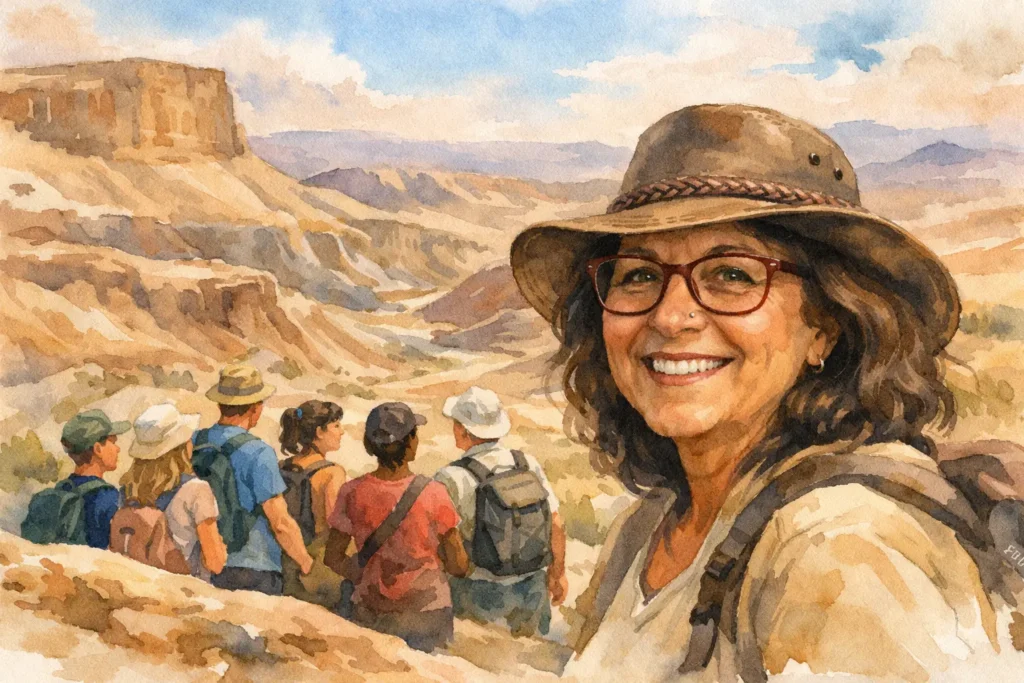
Stand on the rim of Makhtesh Ramon at first light and the landscape can look almost too dramatic to be real – bands of stone, cut slopes, bare ridges, and a silence that makes every shape feel sharper. A good guide to Israel desert geology helps you see that this is not empty scenery at all. It is a landscape written slowly over immense spans of time, and once you start reading it, every hike, jeep trail, and viewpoint becomes richer.
For travelers who love history, faith, archaeology, or outdoor adventure, the desert often becomes the most surprising part of Israel. Not because it is simple, but because it is layered. You are not just looking at sand. You are looking at ancient seas, folded rock, erosion, mineral deposits, flash flood channels, and landforms that are unusual even on a global scale.
Why Israel’s deserts feel so varied
One of the pleasures of traveling through the Negev and the Judean Desert is how quickly the terrain changes. In a relatively small country, you can move from high limestone plateaus to deeply carved wadis, from chalky hills to hard sandstone, from gravel plains to areas marked by salt and marl. That variety is part of what makes desert touring here so rewarding.
The reason is geological diversity. Different rocks were deposited in different eras, often in very different environments. Some formed in shallow seas. Others came from desert conditions. Later, uplift and erosion exposed those layers and cut into them. The result is a desert that does not behave like a single landscape type. It behaves more like a compact geological archive.
For a visitor, that means the view from one trail may feel broad and open, while another route a short drive away is all narrow canyon walls and sculpted stone. If you enjoy walking with context, geology turns these changes from pretty scenery into a story.
A guide to Israel desert geology starts with water
Deserts are often understood through dryness, but geology here makes more sense when you think about water. Ancient water created many of the rocks. Occasional modern water still shapes the land.
Large parts of the desert are made of sedimentary rock – layers of material laid down long ago, often under marine conditions. That is why you can find limestone, chalk, flint, and other formations that remind you this dry region was not always dry. In places, fossils and marine sediments tell a very old story of seabeds and changing coastlines.
Then there is the water that appears suddenly. Flash floods matter enormously in Israel’s desert landscapes. A wadi that looks harmless and empty can become a forceful channel during seasonal storms, cutting, carrying, and reshaping everything in its path. Those floods help carve canyons, transport sediment, and create the sharp relief that makes desert hikes here so visually striking.
This is also why the desert rewards patient guiding. A ridge, a basin, or a canyon wall often reflects two opposite processes at once – long periods of dryness and brief, powerful episodes of water.
Makhteshim – the desert landform most visitors have never seen before
If there is one geological feature that deserves special attention, it is the makhtesh. These crater-like landforms are one of Israel’s signatures, especially in the Negev. They are often called craters by visitors, but they are not volcanic craters and they are not impact craters. That distinction matters.
A makhtesh forms through erosion. In simple terms, harder rock overlays softer rock in a folded structure. Over time, water and weathering breach the outer rim and begin removing the softer material inside, creating a large erosional basin with steep walls. It is a beautiful example of how geology can produce something that looks dramatic and sudden through a process that is actually very slow.
Makhtesh Ramon is the best-known example, and for good reason. It is vast, visually powerful, and geologically rich. But the smaller makhteshim are also deeply rewarding because they let you notice detail – color variation, exposed strata, mineral veins, and the shape of erosion channels.
For many travelers, this is the moment when a guide to Israel desert geology becomes practical, not just academic. Once you understand what a makhtesh is, you stop seeing a big hole in the ground and start seeing structure, sequence, and time.
The rocks you are most likely to notice
Not every visitor wants a full geology lecture, and that is fair. Still, knowing a few rock types can make your time in the desert much more engaging.
Limestone is common and often forms pale cliffs and ridges. It can weather into broken, angular terrain and is closely tied to ancient marine environments. Chalk appears softer and lighter, sometimes giving hills a smoother, almost powdered look. Flint often appears as hard nodules or bands within chalk and limestone, and people interested in archaeology quickly notice how important it was for early toolmaking.
Sandstone shows up especially in parts of the southern desert and can be stunning in color, from warm reds to golden tones. It often weathers differently from limestone, producing softer contours in some places and striking cliffs in others. Marl and clay-rich sediments can create more fragile slopes, while areas touched by salt deposition have their own distinct textures and instability.
The trade-off is that beautiful rock does not always mean easy walking. A dramatic ridge may be hard underfoot. A soft-looking slope may be more slippery than expected. In the desert, geology affects not only what you see but how you move.
The Judean Desert and the Negev are not the same story
Travelers sometimes speak about “the desert” as if it were all one continuous experience. It is more interesting than that.
The Judean Desert, especially toward the Dead Sea, has a severe, sculpted look. Steep escarpments, deeply incised wadis, exposed sedimentary layers, and mineral-rich conditions give it a stark intensity. It can feel austere and powerful, and the geology is closely tied to dramatic elevation changes. The descent toward the Dead Sea adds another dimension, because the land is responding to one of the lowest continental points on earth.
The Negev, by contrast, often feels broader and more varied. There are highlands, erosion basins, gravel plains, sandstone zones, and the famous makhteshim. Some parts feel expansive and meditative. Others feel rugged and intricate. If the Judean Desert often impresses through sharp contrast, the Negev often wins people over through range.
Neither is better. It depends on what kind of day you want. If you are drawn to cliff drama and concentrated intensity, one route may suit you. If you want a longer geological progression with more shifts in terrain, another may be the better fit.
Reading canyons, wadis, and desert surfaces
A canyon in Israel’s desert is rarely just a canyon. Look closely and you may notice how differently rock layers respond to erosion. Harder beds form ledges or protective caps. Softer layers recess and crumble. Narrow passages often reflect zones of weakness that water exploited again and again.
Wadis are equally revealing. Their courses tell you where water concentrates, but their sediments also tell you about transport. Large stones suggest stronger flow conditions. Fine silts and clays point to quieter deposition in certain pockets. Desert pavements – those surfaces covered with tightly packed stones – can look accidental, but they reflect long-term sorting and weathering processes.
This is one reason guided jeep touring and guided hiking can complement each other so well. From a vehicle, you can understand scale and structure. On foot, you see texture, grain, fracture, and the subtle differences between one slope and the next.
What geology adds to the travel experience
Geology is not separate from the rest of the journey. It helps explain why ancient routes went where they did, why fortresses were built on certain heights, why springs mattered so much, and why human settlement in desert regions required creativity. It gives context to archaeology and to the rhythm of travel itself.
For families, it can turn a scenic stop into a real moment of discovery. For repeat visitors to Israel, it opens up a different layer of the country beyond the standard heritage circuit. For hikers and off-road travelers, it adds meaning to the route. You are not only moving through space. You are moving through environments shaped over immense stretches of time.
That is also why a personalized day in the desert can be so rewarding. Some travelers want the big visual drama of Ramon. Others are happiest with a shorter walk that explains how chalk, flint, and flood channels work together. With the right pacing, geology becomes accessible without becoming heavy.
A few smart expectations for desert travelers
The best geological sites are not always the easiest ones. Light matters, weather matters, and distances can be deceptive. Midday sun can flatten the land visually, while early morning or late afternoon reveals layers and contours beautifully. Some routes are ideal for casual visitors, while others need more stamina or careful footing.
This is where experience counts. A seasoned guide can help match the landscape to your interests, whether you want a panoramic introduction, a serious hiking day, or a 4×4 route that brings remote formations into view. Patchwork Israel often approaches the desert this way – not as a checklist stop, but as a place where the route should fit the traveler.
Once you begin to notice how ancient seas, rock layers, erosion, and flash floods shaped the view in front of you, the desert stops being background. It starts becoming one of the clearest, most memorable ways to understand Israel – slowly, visually, and one layer at a time.

A Guide to Israel Desert Geology
Stand on the rim of Makhtesh Ramon at first light and the landscape can look almost too dramatic to be real – bands of stone, cut slopes, bare ridges, and a silence that makes every shape feel sharper. A good guide to Israel desert geology helps you see that this is not empty scenery at all. It is a landscape written slowly over immense spans of time, and once you start reading it, every hike, jeep trail, and viewpoint becomes richer.
For travelers who love history, faith, archaeology, or outdoor adventure, the desert often becomes the most surprising part of Israel. Not because it is simple, but because it is layered. You are not just looking at sand. You are looking at ancient seas, folded rock, erosion, mineral deposits, flash flood channels, and landforms that are unusual even on a global scale.
Why Israel’s deserts feel so varied
One of the pleasures of traveling through the Negev and the Judean Desert is how quickly the terrain changes. In a relatively small country, you can move from high limestone plateaus to deeply carved wadis, from chalky hills to hard sandstone, from gravel plains to areas marked by salt and marl. That variety is part of what makes desert touring here so rewarding.
The reason is geological diversity. Different rocks were deposited in different eras, often in very different environments. Some formed in shallow seas. Others came from desert conditions. Later, uplift and erosion exposed those layers and cut into them. The result is a desert that does not behave like a single landscape type. It behaves more like a compact geological archive.
For a visitor, that means the view from one trail may feel broad and open, while another route a short drive away is all narrow canyon walls and sculpted stone. If you enjoy walking with context, geology turns these changes from pretty scenery into a story.
A guide to Israel desert geology starts with water
Deserts are often understood through dryness, but geology here makes more sense when you think about water. Ancient water created many of the rocks. Occasional modern water still shapes the land.
Large parts of the desert are made of sedimentary rock – layers of material laid down long ago, often under marine conditions. That is why you can find limestone, chalk, flint, and other formations that remind you this dry region was not always dry. In places, fossils and marine sediments tell a very old story of seabeds and changing coastlines.
Then there is the water that appears suddenly. Flash floods matter enormously in Israel’s desert landscapes. A wadi that looks harmless and empty can become a forceful channel during seasonal storms, cutting, carrying, and reshaping everything in its path. Those floods help carve canyons, transport sediment, and create the sharp relief that makes desert hikes here so visually striking.
This is also why the desert rewards patient guiding. A ridge, a basin, or a canyon wall often reflects two opposite processes at once – long periods of dryness and brief, powerful episodes of water.
Makhteshim – the desert landform most visitors have never seen before
If there is one geological feature that deserves special attention, it is the makhtesh. These crater-like landforms are one of Israel’s signatures, especially in the Negev. They are often called craters by visitors, but they are not volcanic craters and they are not impact craters. That distinction matters.
A makhtesh forms through erosion. In simple terms, harder rock overlays softer rock in a folded structure. Over time, water and weathering breach the outer rim and begin removing the softer material inside, creating a large erosional basin with steep walls. It is a beautiful example of how geology can produce something that looks dramatic and sudden through a process that is actually very slow.
Makhtesh Ramon is the best-known example, and for good reason. It is vast, visually powerful, and geologically rich. But the smaller makhteshim are also deeply rewarding because they let you notice detail – color variation, exposed strata, mineral veins, and the shape of erosion channels.
For many travelers, this is the moment when a guide to Israel desert geology becomes practical, not just academic. Once you understand what a makhtesh is, you stop seeing a big hole in the ground and start seeing structure, sequence, and time.
The rocks you are most likely to notice
Not every visitor wants a full geology lecture, and that is fair. Still, knowing a few rock types can make your time in the desert much more engaging.
Limestone is common and often forms pale cliffs and ridges. It can weather into broken, angular terrain and is closely tied to ancient marine environments. Chalk appears softer and lighter, sometimes giving hills a smoother, almost powdered look. Flint often appears as hard nodules or bands within chalk and limestone, and people interested in archaeology quickly notice how important it was for early toolmaking.
Sandstone shows up especially in parts of the southern desert and can be stunning in color, from warm reds to golden tones. It often weathers differently from limestone, producing softer contours in some places and striking cliffs in others. Marl and clay-rich sediments can create more fragile slopes, while areas touched by salt deposition have their own distinct textures and instability.
The trade-off is that beautiful rock does not always mean easy walking. A dramatic ridge may be hard underfoot. A soft-looking slope may be more slippery than expected. In the desert, geology affects not only what you see but how you move.
The Judean Desert and the Negev are not the same story
Travelers sometimes speak about “the desert” as if it were all one continuous experience. It is more interesting than that.
The Judean Desert, especially toward the Dead Sea, has a severe, sculpted look. Steep escarpments, deeply incised wadis, exposed sedimentary layers, and mineral-rich conditions give it a stark intensity. It can feel austere and powerful, and the geology is closely tied to dramatic elevation changes. The descent toward the Dead Sea adds another dimension, because the land is responding to one of the lowest continental points on earth.
The Negev, by contrast, often feels broader and more varied. There are highlands, erosion basins, gravel plains, sandstone zones, and the famous makhteshim. Some parts feel expansive and meditative. Others feel rugged and intricate. If the Judean Desert often impresses through sharp contrast, the Negev often wins people over through range.
Neither is better. It depends on what kind of day you want. If you are drawn to cliff drama and concentrated intensity, one route may suit you. If you want a longer geological progression with more shifts in terrain, another may be the better fit.
Reading canyons, wadis, and desert surfaces
A canyon in Israel’s desert is rarely just a canyon. Look closely and you may notice how differently rock layers respond to erosion. Harder beds form ledges or protective caps. Softer layers recess and crumble. Narrow passages often reflect zones of weakness that water exploited again and again.
Wadis are equally revealing. Their courses tell you where water concentrates, but their sediments also tell you about transport. Large stones suggest stronger flow conditions. Fine silts and clays point to quieter deposition in certain pockets. Desert pavements – those surfaces covered with tightly packed stones – can look accidental, but they reflect long-term sorting and weathering processes.
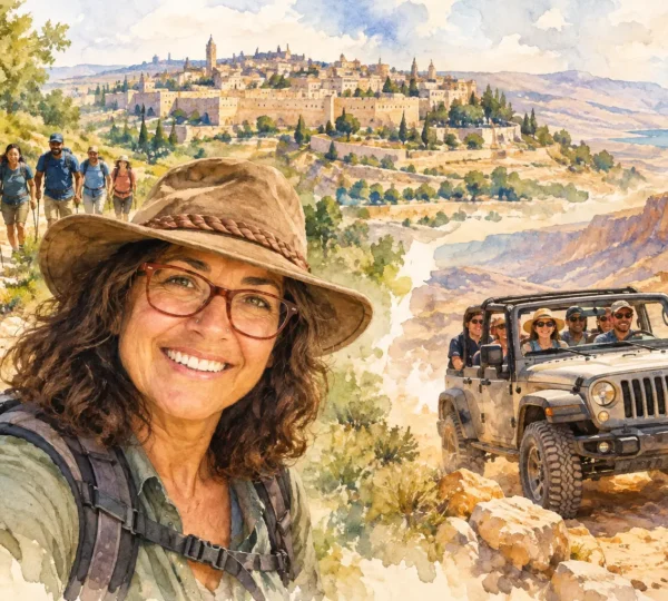
This is one reason guided jeep touring and guided hiking can complement each other so well. From a vehicle, you can understand scale and structure. On foot, you see texture, grain, fracture, and the subtle differences between one slope and the next.
What geology adds to the travel experience
Geology is not separate from the rest of the journey. It helps explain why ancient routes went where they did, why fortresses were built on certain heights, why springs mattered so much, and why human settlement in desert regions required creativity. It gives context to archaeology and to the rhythm of travel itself.
For families, it can turn a scenic stop into a real moment of discovery. For repeat visitors to Israel, it opens up a different layer of the country beyond the standard heritage circuit. For hikers and off-road travelers, it adds meaning to the route. You are not only moving through space. You are moving through environments shaped over immense stretches of time.
That is also why a personalized day in the desert can be so rewarding. Some travelers want the big visual drama of Ramon. Others are happiest with a shorter walk that explains how chalk, flint, and flood channels work together. With the right pacing, geology becomes accessible without becoming heavy.
A few smart expectations for desert travelers
The best geological sites are not always the easiest ones. Light matters, weather matters, and distances can be deceptive. Midday sun can flatten the land visually, while early morning or late afternoon reveals layers and contours beautifully. Some routes are ideal for casual visitors, while others need more stamina or careful footing.
This is where experience counts. A seasoned guide can help match the landscape to your interests, whether you want a panoramic introduction, a serious hiking day, or a 4×4 route that brings remote formations into view. Patchwork Israel often approaches the desert this way – not as a checklist stop, but as a place where the route should fit the traveler.
Once you begin to notice how ancient seas, rock layers, erosion, and flash floods shaped the view in front of you, the desert stops being background. It starts becoming one of the clearest, most memorable ways to understand Israel – slowly, visually, and one layer at a time.

Get the latest blog updates in your inbox.